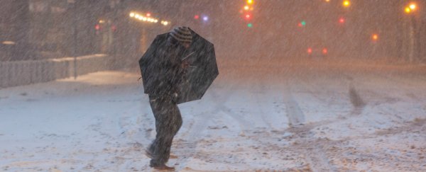
Weather forecasts aren't the most reliable things to base your day around, but if the reaction of meteorologists this week is anything to go by, the snowstorm that's predicted to hit Washington DC, New York City and most of coastal northeastern US this weekend is going to be legit.
It's predicted that the storm, which the Weather Channel has dubbed 'Jonas', will put an end to unseasonably mild weather, and unleash between 0.3 and 0.6 metres (1 to 2 feet) of snow on more than 50 million people between North Virginia and Boston, and is expected to last all weekend. On Wednesday morning, the US National Weather Service issued a blizzard watch for the entire Washington metro area.
But what meteorologists are really excited about is that, according to pretty much every model the storm's been run through, it has the potential to turn into a "blizzard for the ages", with some predictions claiming that the storm could be the biggest in almost a century.
If that doesn't convince you that Jonas is a big deal, consider the fact that Paul Kocin, who quite literally wrote a textbook on these types of storms, called this weekend's storm "textbook", as Slate reports.
Meteorologist Ian Livingston has also been fanboying over the consistent models of the storm's evolution, which he calls "perfection".
While forecasts can - and often do - change frequently, the fact that the computer models have remained so consistent since early in the week is a pretty compelling sign that the storm is definitely coming, and it's going to bring a whole lot of snow.
"While there is still time for shifts in the exact storm track, which could alter snow totals some, the consensus of forecast models indicate more than a foot of snow will fall in many areas," wrote Jason Samenow and Wes Junker for The Washington Post. "Wherever you are Friday evening, it is quite possible you may need to remain there until Sunday or Monday, or even a bit longer."
In fact, since weather records began in the Washington area in 1871, there have only been three or four snowstorms with liquid equivalent to what's being forecast for this weekend. The current record for snowfall in Washington DC was 71 cm (28 inches) in 1922.
So what's so special about this storm? As Eric Holthaus explains over at Slate, the set-up has been just right:
"A strong blocking high pressure center over Quebec will supply enough cold air to ensure that very little of the storm's moisture will fall as rain, and a powerful low pressure center will rapidly strengthen as the storm likely slows to a crawl off the New Jersey shore at peak strength."
While that all sounds very cool, the National Weather Service in the Baltimore-Washington area warned that the storm could bring "significant travel delays, closures, and threats to life and property".
In the past, forecasts like this have frequently ended up disappointing people with their lacklustre displays, so let's all keep our expectations in check (we're looking at you, meteorologists). But don't forget to come up with a plan if you're in an affected area and make sure you stay warm and safe. We'll be waiting for the news eagerly from a super-hot Australian summer.
