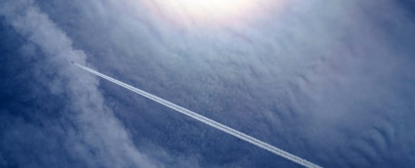
While living under the path of aircraft is usually no cause for concern, you might want to keep an umbrella handy: a new study shows planes flying over patches of rain or snow can boost precipitation levels by as much as 14 times.
This strange meteorological phenomenon is all down to the design of the wings on modern aircraft, which create changes in air pressure and pockets of freezing water droplets that have an impact lower down in the atmosphere.
Conditions need to be exactly right for it to happen though – it's most often seen over airports, where planes are intersecting layers of cloud as they come down to land, adding an extra rain or snow flurry as they go.
"The intensified precipitation basically follows the track of an airplane above the cloud," says one of the researchers, Dmitri Moisseev from the University of Helsinki in Finland.
"It could extend over hundreds of kilometres, but the cross-section would be maybe 100 metres (330 ft). So it's a very narrow, long feature."
Moisseev and his colleagues first noticed something strange in radar data patterns: narrow streams of heavy rain or snow. Significantly, most of these streams were pointing towards Helsinki-Vantaa airport.
The researchers then ploughed through nearly 11 years of weather data, and found 17 cases of these strange patterns, from the end of 2008 to the start of 2018. Cross-checking this data with flight pattern records and local observations, they found a link to passing aircraft.
For an explanation, the team turned to something we already know about: hole punch clouds. These clouds form when zones of low pressure around aircraft wings and propellers allow air to expand and cool – this knocks the temperature down significantly around the plane as it flies through.
For the effect to happen, the cloud layer needs to be supercooled: water doesn't always freeze at 0 degrees Celsius (32 degrees Fahrenheit). If it's pure enough and doesn't have a surface to latch on to, it can actually go as low as -40 °C (-40 °F) before solidifying.
 The hole punch effect, related to the new study. (Jamie Mix)
It's these very cold water droplets that aircraft can have an effect on. As the temperature drops and ice crystals begin to form, it triggers a chain reaction in a widening circle around the passing aircraft. These ice crystals then drop into lower clouds that are already spitting out rain or snow, which leads to a boost in water or ice discharge.
"Falling ice crystals from upper clouds could seed lower clouds and therefore increase rain or snowfall intensity through the process called snowflake aggregation," explains the team of researchers.
The idea that this could trigger more rainfall or snowfall lower down has been suggested before. What's new in this study is more detailed documentation of it happening, and the precise conditions required – as well as evidence that it starts happening at a higher level than we thought.
In fact, it looks as though the phenomenon can occur even outside of clouds, higher up in the atmosphere, as long as there are enough ultra-cool water droplets to freeze. That would make this effect slightly different to the one we see in hole punch clouds.
All of this advanced physics might eventually lead to improved weather forecasts around airports – forecasts that are crucial for getting planes safely taking off and landing on time.
In particular, the researchers say, this study should help in the "nowcast" that airports rely on: that's weather conditions predicted over the next two to six hours. It's also something we're going to need to investigate even as planes switch to alternative fuel sources.
"The interesting thing about this feature is that it is caused by aircraft, but it is not caused by pollution," says Moisseev. "Even if there would be absolutely ecological airplanes, which don't have any combustion, no fuel or anything, it would still happen."
The research has been published in the Journal of Geophysical Research: Atmospheres.
