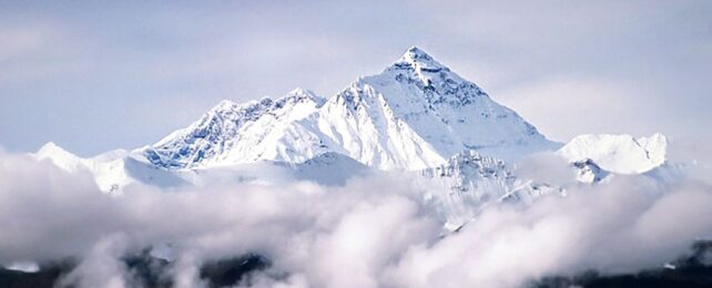
Scientists think they have figured out why Mount Everest, known as Chomolungma in Tibet and Sagarmatha in Nepal, stands out so starkly from the rest of the peaks in the Himalayas.
According to new models, there is an overlooked force of 'piracy' at play that could account for as much as 50 meters (around 160 feet) of the world's highest peak. But not the kind of piracy that raids ships on the high seas. The kind that captures rivers.
Obviously, Everest's record height of 8,849 meters would be nowhere without the smashing of tectonic plates, but the uniformity of geology along the fault should make all peaks more or less the same height.
The difference between most Himalayan peaks is no more than 100 meters. Extending a whole 250 meters above any of its neighbors, one is clearly hiding a secret.
Plus, Everest is still growing to this day, several millimeters every year, according to GPS data, and that's faster than the uplift rate expected by tectonic plates.
Another force must be at play, and scientists at the China University of Geosciences and University College London think they have found it.
Their models suggest the world's tallest summit was raised above its peers by geological piracy, which occurs when one river is 'captured' by a neighbor. This alters sediment flow and reshapes rivers and their tributaries into new patterns.
Today, the Arun River is a major tributary that cuts a deep, narrow gorge through the core of the Himalayas, dropping 7 kilometers in elevation over a 35-kilometer stretch.
But when this river formed long ago, it didn't need landslides or glaciers to help it chisel such a deep path through the northern slopes of Chomolungma. Its sheer volume of flowing water gave it all the power it needed.
Roughly 89,000 years ago, models suggest, the Arun tributary began capturing more water from its parent, the Kosi River, and the sudden increase in power could have easily driven the incision of a gorge.
The removal of great chunks of rock would have caused Earth's crust, which 'floats' on the mantle, to rebound, thereby causing a "surface uplift of the unincised parts of the surrounding area, including the mountain peaks," writes the international team, led by Xu Han from China University of Geosciences.
Based on their models, the team estimates between 15 and 50 meters of Chomolungma's current height could have stemmed from river drainage piracy.
Compared to the Arun, other rivers that flow through the Himalayas have had a more consistent history of flow, which means that erosion at the base of the mountains is about the same as erosion occurring at the peaks. This means the overall weight of the crust sitting on the mantle remains relatively stable.
But when the Arun River began taking on more water all those millennia ago, this balanced rate of erosion was thrown out of whack. As more rock was carried away by rivers, it caused the Earth's crust to lift in certain spots.
Given the crust's elastic thickness of 10 to 30 km, researchers estimate this phenomenon would lead to an increased surface uplift rate for Chomolungma of up to 0.53 mm a year.
The findings suggest the tallest peak on Earth today could still be growing from the formation of a river gorge – 89,000 years ago.
The study was published in Nature Geoscience.
